


WATER
Flooding in a changing climate: rethinking infrastructure for a more resilient future
AUGUST 31, 2026
Jefferson Estiben Zuluaga Castaño
Design Engineer | Linkedin
Flooding is currently one of the natural hazards with the greatest impact on people worldwide. In a context of climate change, extreme rainfall events are becoming more frequent and intense, placing increasing pressure on infrastructure that was designed under hydrological conditions that no longer reflect today’s reality.
As part of World Water Week 2026, whose focus highlights water security, resilience and inequality reduction, flooding stands out as one of the most significant challenges facing societies today. Understanding how to assess these events and how to adapt our territories to them has become a priority for building safer and more sustainable communities.

Increasing exposure in flood-prone areas, social vulnerability and more intense hydrometeorological events call for a fundamental rethink of infrastructure design and territorial planning
A growing and uneven threat
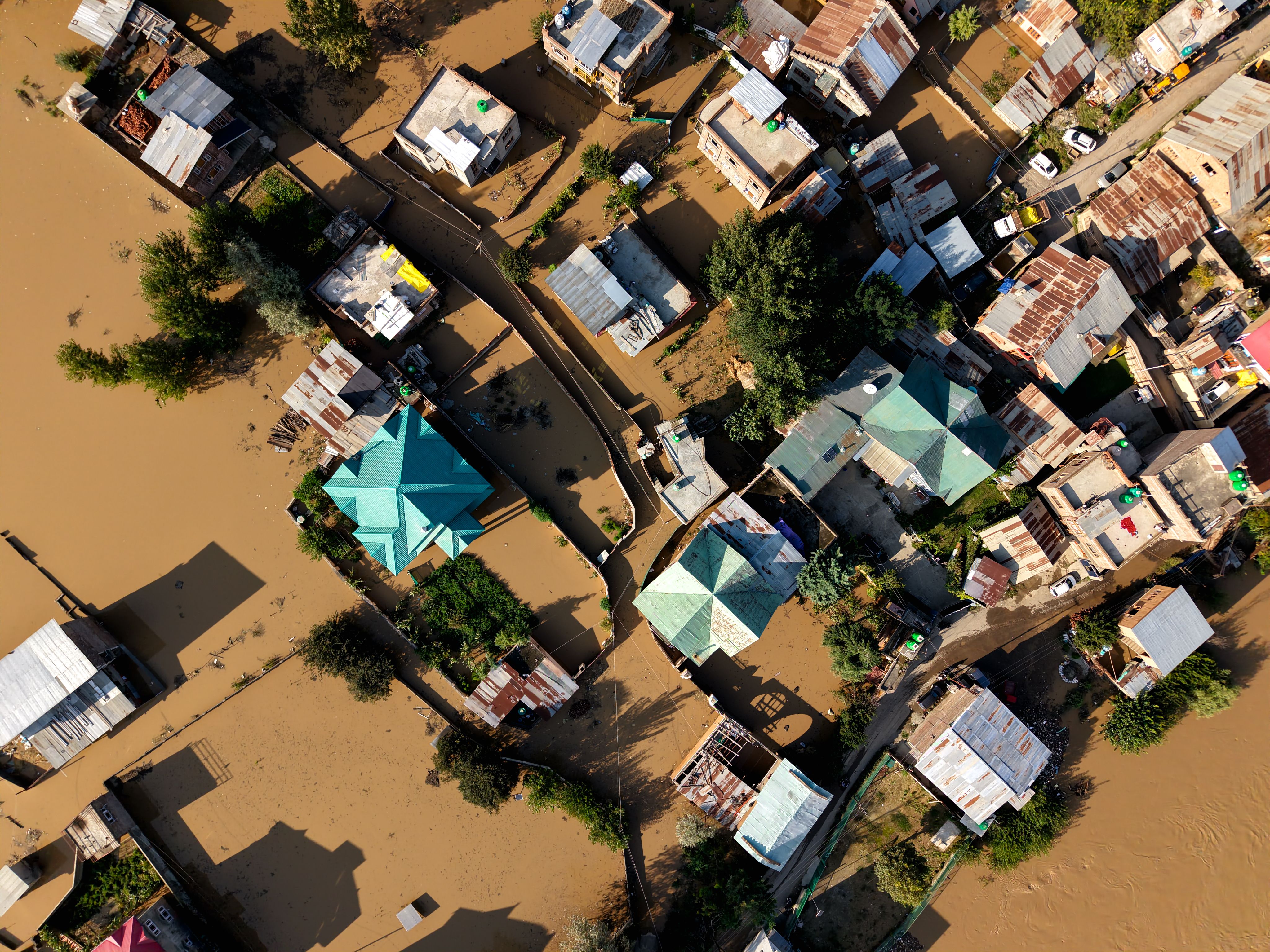
According to the United Nations Office for Disaster Risk Reduction (UNDRR), floods and extreme flood events are becoming increasingly frequent and impactful compared to previous decades.
Exposed territories: when cities encroach on rivers
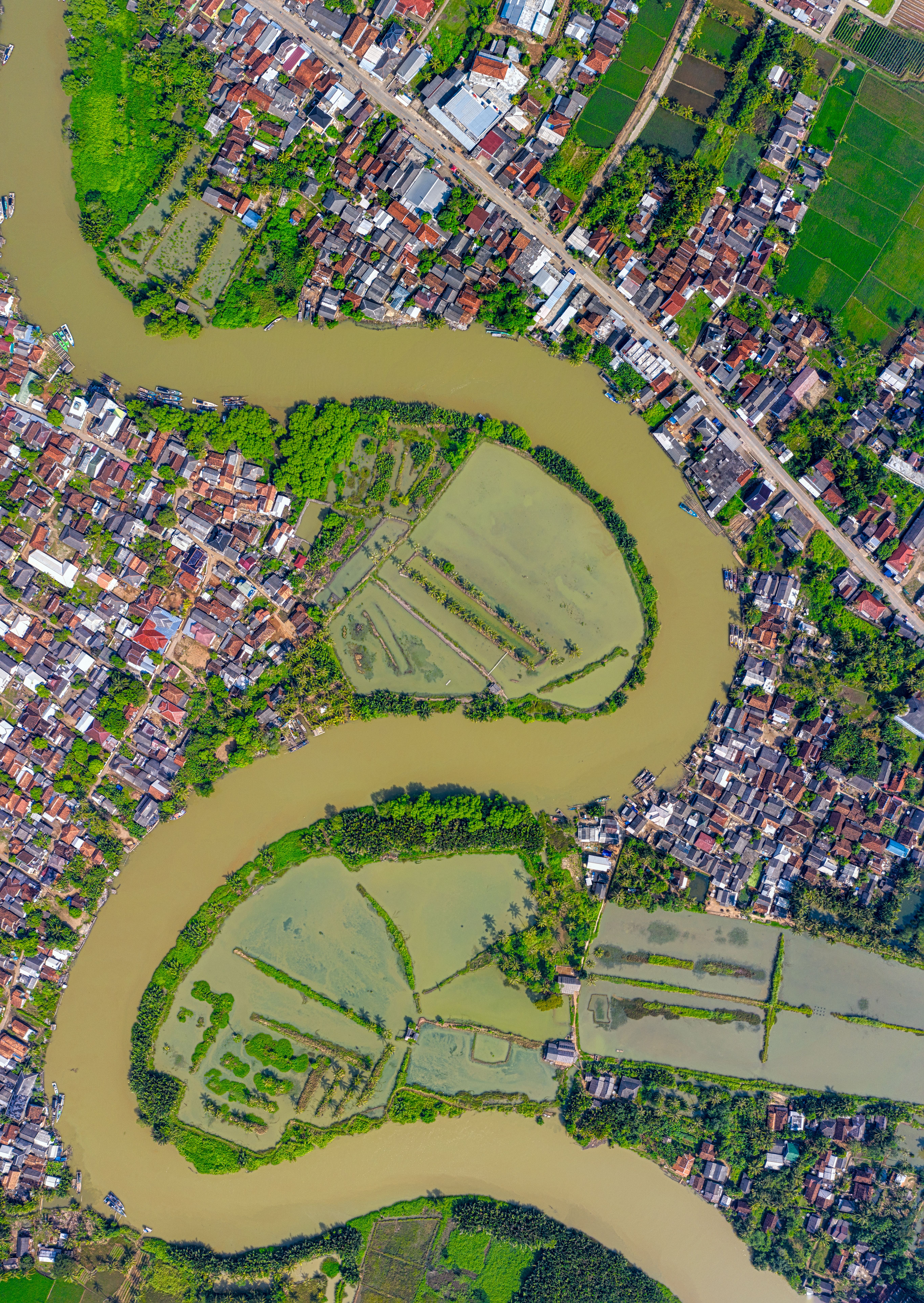
This reality is driven not only by the intensity of flooding events but also by the way societies occupy and transform the landscape. In many developing countries, limitations in urban and territorial planning have encouraged the expansion of settlements into areas naturally exposed to flooding.
These settlements are often located along riverbanks and, more specifically, within river floodplains. Floodplains play a critical role in the hydraulic dynamics of river systems and are therefore naturally activated during flood events. When occupation of these areas coincides with increasingly intense hydrometeorological events, the human, social and economic consequences of flooding can escalate dramatically.
The combination of increasing exposure of people and infrastructure in flood-prone areas, high levels of social vulnerability and the intensification of hydrometeorological phenomena calls for a fundamental rethink of how infrastructure is designed and how territories are planned. This reality highlights the need to incorporate flood risk reduction as a core component of territorial planning and development strategies.
Designing beyond the 100-year flood
In response to this scenario, countries need to advance simultaneously on three fronts: resilient infrastructure, territorial planning that clearly identifies hazard-prone areas, and early warning systems capable of anticipating extreme events. The integration of these three components is what truly reduces impacts on people and assets while strengthening the recovery capacity of the most exposed territories.
Adapting to this new hydrological regime requires revisiting conventional design criteria. While hydraulic infrastructure has traditionally been designed using events associated with return periods of around 100 years, particularly in many developing countries, climate change is prompting a reassessment of these standards.
It is becoming increasingly common to complement traditional approaches with more severe scenarios and analyses that incorporate future climate projections, with the aim of ensuring adequate levels of safety and resilience throughout the operational life of infrastructure assets.
Giving more room to rivers
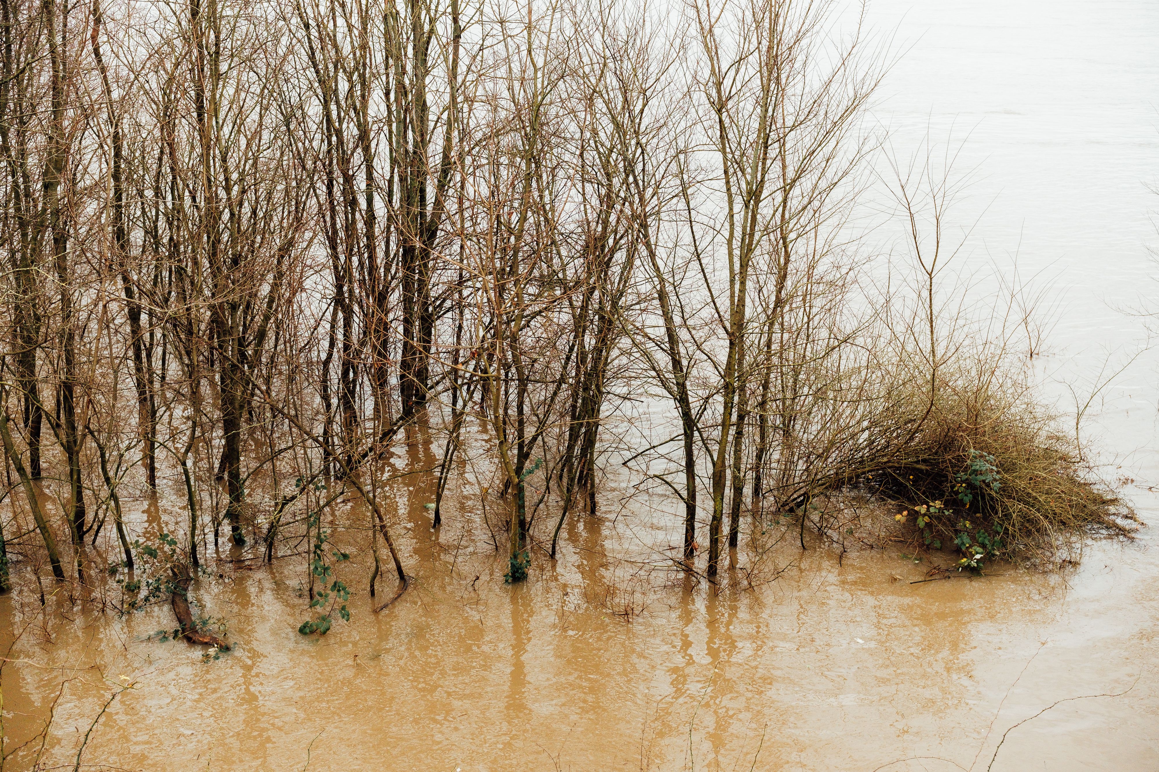
However, adapting to flood risk is not solely a matter of applying stricter design criteria or increasing infrastructure capacity. International experience shows that resilience also depends on understanding and harnessing the natural processes that regulate river behaviour during flood events.
Adaptation is not only about building larger protective structures. In many cases, effective solutions involve giving more space back to rivers so they can accommodate part of their natural dynamics in a controlled way.
Maintaining connectivity between a river channel and its floodplain enables temporary water storage during flood events, reducing downstream water levels and lowering risk for surrounding communities. This shift in approach is increasingly reflected in regions around the world, where adaptation strategies focus on working with natural water processes rather than relying exclusively on conventional infrastructure.
One of the most widely recognised examples of this approach is the Dutch Room for the River programme, which marked a major international paradigm shift by expanding floodplains, creating secondary channels and lowering riverbanks instead of simply raising dikes. In doing so, the programme provides more space for rivers while simultaneously enhancing flood protection and improving ecological quality.
An integrated engineering perspective
Floods will continue to be part of the natural dynamics of our territories. The difference lies in our ability to understand them, anticipate them and adapt to them.
In a world where extreme events are becoming increasingly frequent, the combination of science, planning and nature-based solutions will help reduce community vulnerability and protect critical infrastructure. The challenge is to design territories that can coexist safely, resiliently and sustainably with rivers, creating a better balance between water systems, people and the environments in which they live.